01
Accurate Data

High-resolution drone surveys and 3D mapping to reduce costly errors and speed up project planning.

02
Faster & Safer

Access hard-to-reach areas without putting workers at risk — saving time and enhancing safety compliance.

03
Progress Tracking

Regular aerial progress reports and visual documentation to keep stakeholders updated in real-time.

04
Cost-Effective

CAA-Licensed & Insured – Professional, compliant, and cost-effective operations delivering professional results.

Project Impact by the numbers

75%

Time Savings

90%

Cost Reduction

1cm

Accuracy

48h

Delivery

Learn More

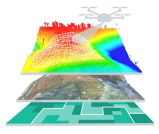
It's time for a new kind of surveying  

Fly high and capture accurate data with our drone services.

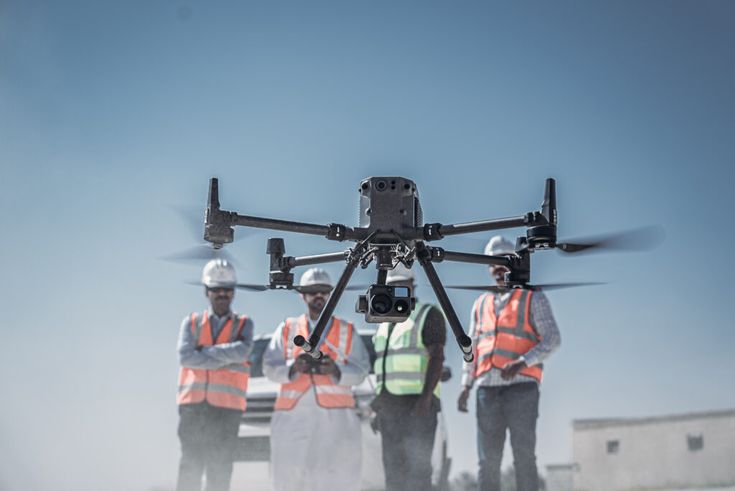
Traditional surveying is slow, costly, and often puts people at risk. Our drone solutions bring a smarter, safer, and more accurate way to capture the data your project needs. From construction sites to infrastructure inspections, we deliver results that save time, cut costs, and keep your team safe on the ground.

About Us

process

Our Simple, and Effective Process

From planning to operation and final data delivery, we provide drone surveying and mapping solutions.

12%
Metric description
87%
Metric description
$5000
Metric description
87%
Metric description
1
Pre-Flight Safety Checks
2
Data Collection
3
Data Processing
4
Delivery

Construction & Infrastructure

Utilities & Power

Digital Media

Get in touch

We provide access to a variety of services.
If you’d like to discuss any projects with us, please get in touch and one of our team will be happy to help.

right arrow